Connect once.
Then just walk.
Why it works
for charities
Anybody can take part
Wheelchair pushes count exactly the same as walking. Cycling and swimming count too. Nobody is excluded by the format.
Nobody has to marshal it
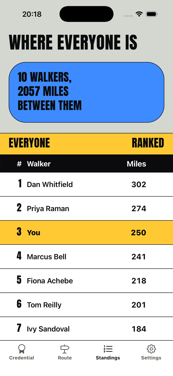
No stewards, no route to close, no weather to plan round. Supporters walk their own streets, and every one of their miles lands on the same total.
Six weeks of reasons to post
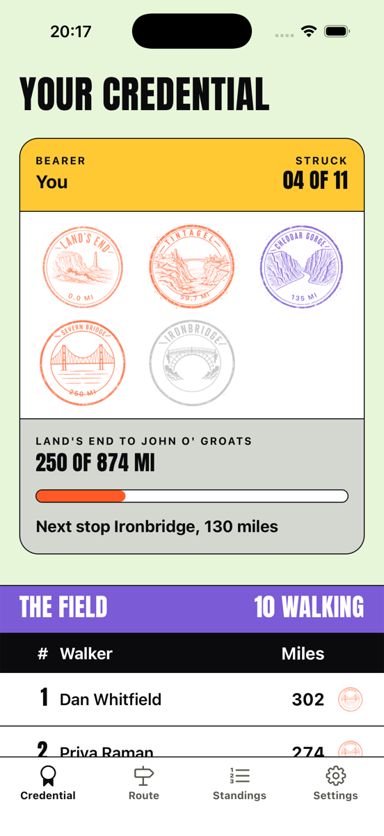
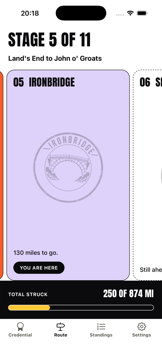
Every landmark you pass strikes a stamp worth sharing, so there is always something new to post, not just at the start and the finish.
Land's End to John o' Groats
874 miles end to end. 11 stamps to collect.
Land's End
0 mi
Tintagel
60 mi
Cheddar Gorge
135 mi
Severn Bridge
250 mi
Ironbridge
380 mi
Shap Fell
505 mi
Scottish Border
584 mi
Loch Lomond
674 mi
Glen Coe
752 mi
Inverness
826 mi
John o' Groats
874 mi
Be first
up the hill
Scuttle lands on iPhone and Android shortly. Leave your email and we will tell you the day it does, and nothing else.
One email, on launch day. No newsletter, and we never pass it on.